LA PLANA DE L’ARC GREEN TRAIL NETWORK
The network of cycle and pedestrian trails, or La Plana de l’Arc Green Trail Network, is a network of rural trails structured around the historic Via Augusta in the inland part of Castellón province. It connects the main resources of the 7 municipalities in La Plana de l’Arc.
As its name suggests, La Plana de l’Arc Green Trail Network is designed to be a network of trails connecting different municipalities and resources, without predetermined stages or routes. The idea is that travellers decide where they want to go, exploring and getting to know the area at the same time.
This Green Trail Network is intended to be a sustainable, non-motorised alternative to get to know La Plana de l’Arc. You can travel in a calm, quiet and unhurried way to enjoy this unique environment, along trails with little difficulty and very little motor vehicle traffic.
The network is made up of trails on which you can follow circular or linear routes, depending on what you want to visit.
La Plana de l’Arc Green Trail Network can be covered both on foot and by bicycle.
To help travellers find their way around the network, whether they decide to travel on foot or by bicycle, signs have been put up throughout the area, showing the possible directions.
INFRASTRUCTURE
Green Trail Network: see all the routes on the map.
DIFFICULTY RATINGS
The Green Trail Network: discover all the signage and difficulty ratings
RESOURCES
Green Trail Network, find out all the points of interest and available resources.
TIPS FOR GETTING AROUND LA PLANA DE L’ARC GREEN TRAIL NETWORK
Travellers should bear the following tips in mind to get around La Plana de l’Arc Green Trail Network:
- The network is designed and signposted so you do not need to use SAT-NAV on mobile devices to find your way. However, it is recommended to plan your route before setting out on a journey.
- Even if you plan the route in advance, it is advisable to have the network map downloaded on a mobile device, in case you get lost.
- To travel safely on the network, you must follow the directional signs and pay attention to caution signs.
- Special attention should be paid to caution signs.
- At points on the network where you need to change direction, there will be a sign showing the direction to take. If there are no signs, continue on the main road.
- The network is only signposted outside urban areas. In urban areas, it is up to the traveller to explore the possibilities on offer.
- At the tourist information points in each municipality, travellers can find information about the network and the municipal resources to visit in paper and digital format.
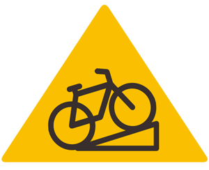
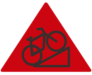
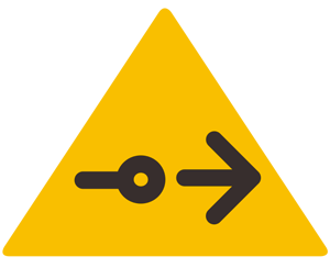
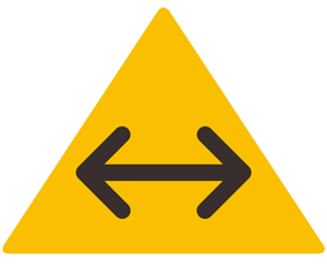
SIGNAGE IN THE GREEN TRAIL NETWORK


DIRECTIONS TO LA PLANA DE L’ARC
There are various alternatives to get to Plana de l’Arc. See the information here.
In addition to the above alternatives, if you want to get to La Plana de l’Arc Green Trail Network directly by bicycle, there are the following possibilities:
From the nearest train stations. (Directly access the route on Google Maps, by clicking on each link)
- Alcalà de Xivert train station to Les Coves de Vinromà, along the CV-133. 14.6 km (approx. 55 minutes)
- Torreblanca train station to Les Coves de Vinromà, along the CV-145 and a rural road. 17.8 km (approx. 1 hour 21 min.)
- Torreblanca train station to Vilanova d’Alcolea, along the CV-145. 14.5 km (approx. 1 hour and 7 minutes)
- Torreblanca train station to Benlloc, along the CV-145. 19.6 km (approx. 1 hour and 26 minutes)
- Oropesa del Mar train station to Cabanes, along a rural road and the CV-148. 17.4 km (approx. 1 hour and 13 minutes)
- Castelló de la Plana train station to Vilafamés, along the cycle path. 25.3 km (approx. 1 hour and 35 minutes)
- Castelló de la Plana train station to Cabanes, along the cycle path. 26.7 km (approx. 1 hour 39 min.)
From the Eurovelo 8 network. (Directly access the route on Google Maps, by clicking on each link)
- Eurovelo 8 (Alcossebre) to Les Coves de Vinromà, along the N-340 service road and the CV-133. 23.7 km (approx. 1 hour and 34 minutes)
- Eurovelo 8 (Torrenostra) Les Coves de Vinromà, along the CV-145 and a rural road. 17.8 km (approx. 1 hour 21 min.)
- Eurovelo 8 (Torrenostra) to Vilanova d’Alcolea, along the CV-145. 14.5 km (approx. 1 hour and 7 minutes)
- Eurovelo 8 (Torrenostra) to Benlloc, along the CV-145. 19.6 km (approx. 1 hour and 26 minutes)